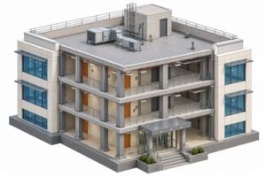
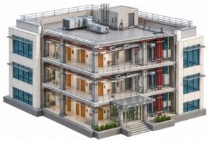
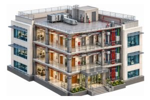
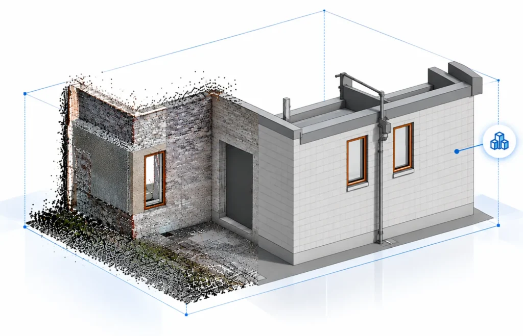
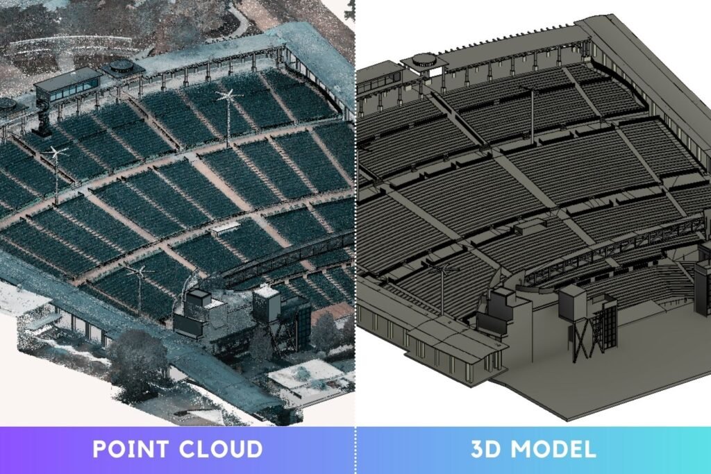
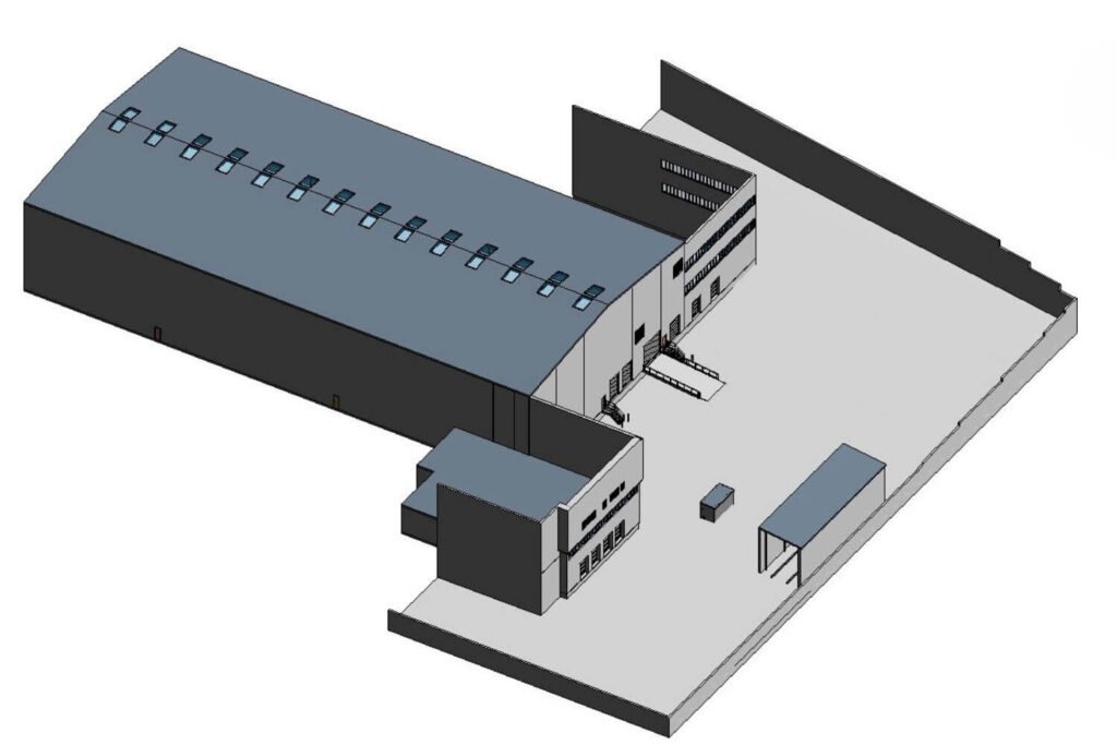
Transform laser scans and point cloud data into accurate, intelligent 3D models for architecture, engineering, construction, renovation, and facility management.
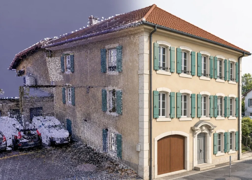
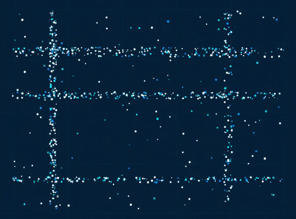
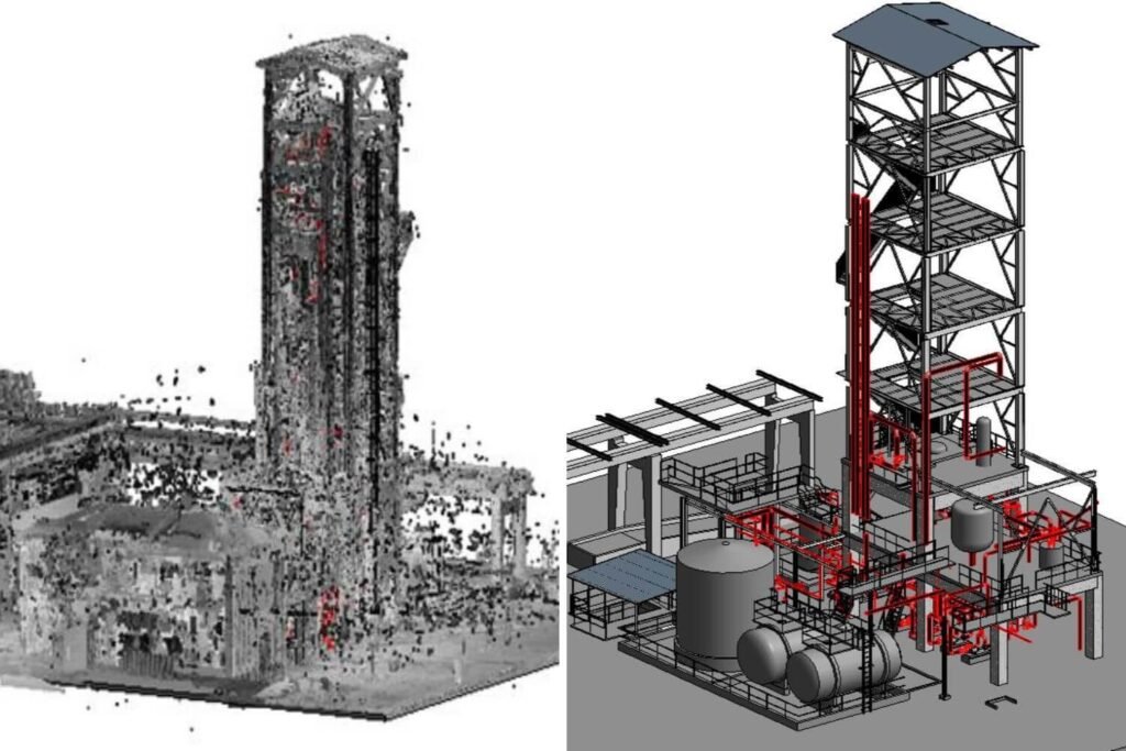
Point cloud to 3D modeling turns millions of measured scan points into structured geometry that design and construction teams can use.
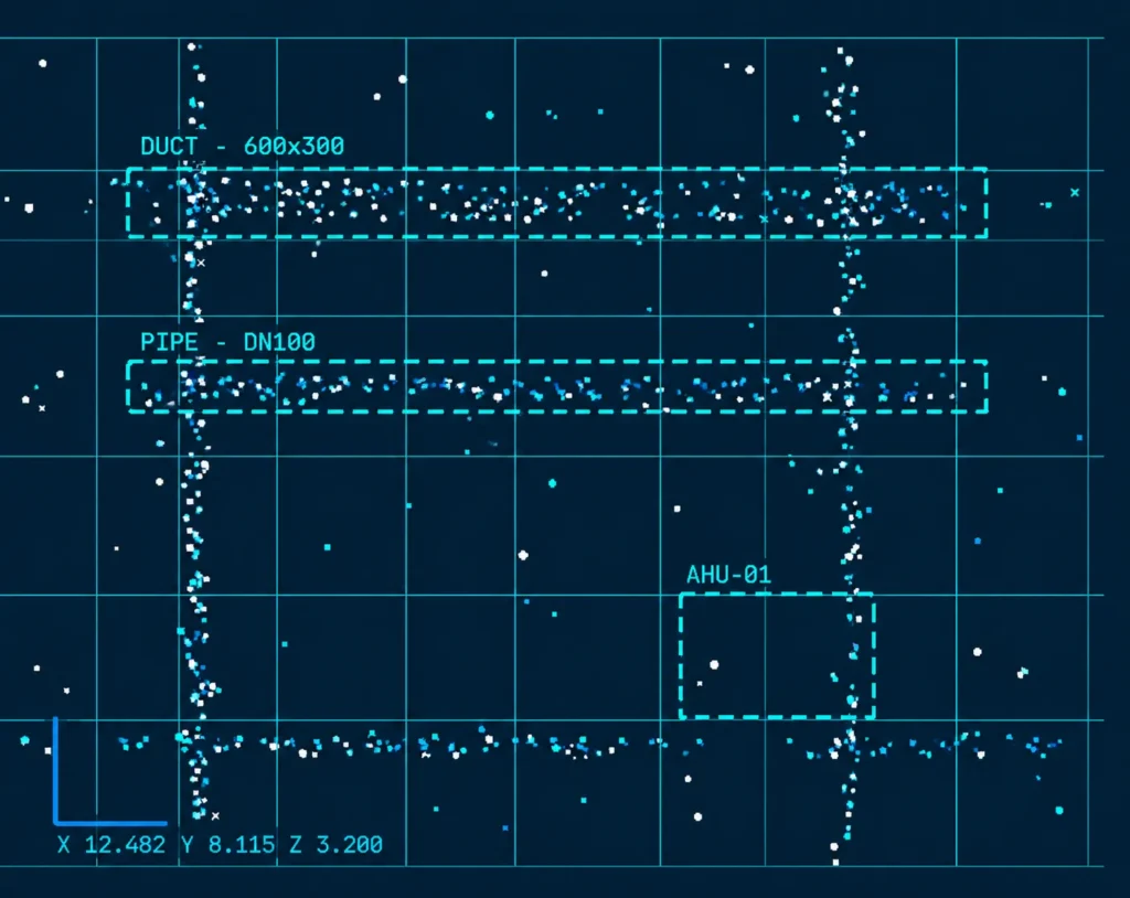
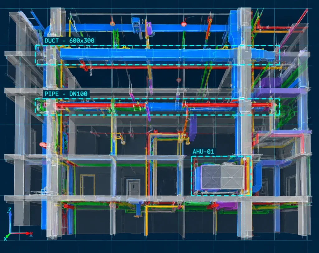
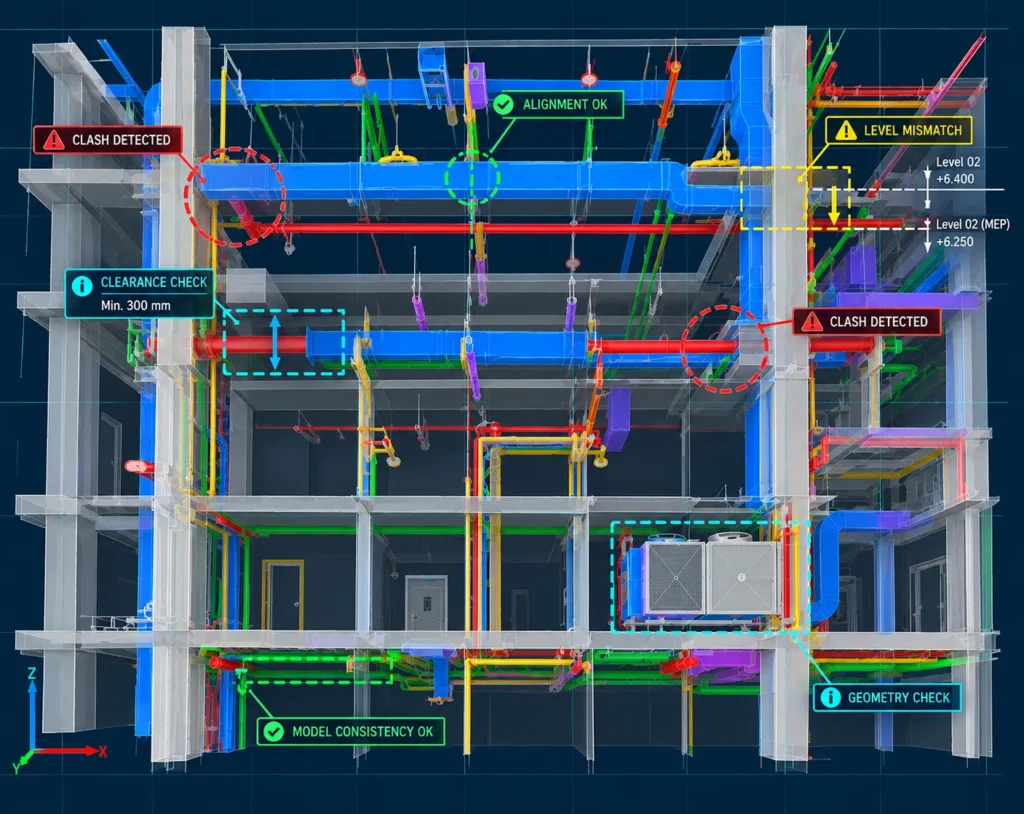
We interpret registered laser scan data to develop architectural, structural, and MEP elements for existing-condition documentation, renovation, coordination, and as-built records. Models are organized around the required software, discipline, deliverable, and level of development—not a one-size-fits-all template.
The resulting Revit, BIM, 3D, or CAD deliverables give project teams a practical digital reference for design decisions, construction planning, quantity review, and multidisciplinary coordination.
Model detail is aligned with purpose, source quality, discipline, and agreed scope. Not every project requires every level.
Level of development
Point Cloud Modeling Based on Your Required LOD
LOD 200 BIM models represent approximate building geometry with generalized elements, basic dimensions, and indicative locations. They support preliminary design development, spatial planning, and early project coordination, helping stakeholders visualize building layouts before detailed modeling and construction documentation begin.
LOD 300 BIM models include accurate geometry, dimensions, locations, and orientations of building elements. They provide reliable information for design coordination, construction documentation, quantity estimation, and clash detection, helping AEC professionals make informed decisions throughout the project lifecycle.
LOD 350 BIM models include detailed building elements, connections, and interfaces required for effective coordination. They represent accurate geometry and spatial relationships, helping architects, engineers, and contractors identify clashes, resolve design conflicts, and improve construction planning and project execution.
LOD 400 BIM models provide highly detailed construction-ready information, including precise dimensions, fabrication details, material specifications, and installation requirements. These models support accurate quantity estimation, clash detection, prefabrication, and efficient on-site execution, helping teams improve coordination and reduce construction errors.
LOD 500 BIM models represent verified as-built conditions of a building, incorporating accurate geometry, asset details, and maintenance information. They support facility management, operations, renovation planning, and long-term building performance throughout the entire building lifecycle.
Project interoperability
Point Cloud Formats for 3D Modeling
We commonly review the following formats. Exact compatibility, software version, and delivery requirements are confirmed for each project.
Common inputs
E57
RCP
RCS
LAS
LAZ
PTS
XYZ
PLY
LiDAR
Matterport
Common outputs
Revit
RVT
IFC
DWG
DXF
3D Models
BIM Models
CAD Drawings
Practical value
Turn Existing Conditions into Usable Digital Models
Better existing-condition documentation
Replace scattered site notes with a coordinated spatial reference for the project team.
Reduced manual modeling effort
Begin with measured reality rather than rebuilding existing geometry from incomplete records.
Improved design coordination
Give disciplines a shared base for checking interfaces, clearances, and proposed changes.
Reliable as-built information
Capture visible conditions in a structured model that can support handover and operations.
Better renovation planning
Understand constraints before demolition, retrofit, restoration, or construction work begins.
Technology fit
Built for Modern BIM & AEC Workflows
Models are prepared around the software environment, downstream use, and coordination requirements identified in the project brief.
We commonly review the following formats. Exact compatibility, software version, and delivery requirements are confirmed for each project.
Share your point cloud data, drawings, project requirements, or scope with our team. We can review the appropriate modeling workflow, deliverables, and LOD.
+1 757 656 3274
+44 7360 267087
+91 6350202061
enquiries@pointcloudto3dmodel.com
NDA Available
Technical answers
FAQs About Point Cloud to 3D Model
What is point cloud to 3D model conversion?
It is the process of interpreting measured scan data and rebuilding the visible geometry as an organized 3D model. The result can support design, documentation, coordination, renovation, and facility planning.
What types of point cloud data can be used for 3D modeling?
Common project inputs include registered E57, RCP, RCS, LAS, LAZ, PTS, XYZ, PLY, LiDAR, and selected reality-capture exports. Compatibility is confirmed during the project review.
Can you create Revit models from point clouds?
Yes. Point clouds can be referenced to develop architectural, structural, and MEP elements in Revit, based on the agreed scope, model purpose, and level of development.
Can point clouds be converted into CAD drawings?
Yes. Scan data can support plans, elevations, sections, and other 2D CAD documentation when those deliverables are included in the scope.
What LOD can be provided for point cloud modeling?
Models can be developed to an agreed level from LOD 200 through LOD 500, where suitable. The appropriate level depends on the source data, intended use, discipline, and required element detail.
Can you model architectural, structural, and MEP elements?
Yes. Scopes may include architectural fabric, structural framing, and visible building services. Each discipline is defined before modeling begins.
Can point cloud data be used for renovation projects?
Yes. Scan-based models are especially useful for renovations because they document existing conditions before design teams plan alterations or coordinate new work.
What information is required to start a project?
Share the point cloud, available drawings, project location, required disciplines, intended model use, preferred software and format, LOD, coordinate requirements, and delivery schedule.