
POINT CLOUD · BIM · AUSTRALIA
Scan to BIM Services in Australia
Turn registered laser scans and point cloud data into detailed BIM models for Australian building projects. We help architects, engineers, builders, surveyors and asset owners document existing conditions, plan upgrades and coordinate what comes next.
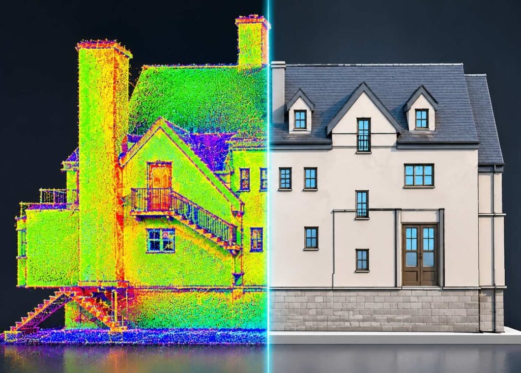
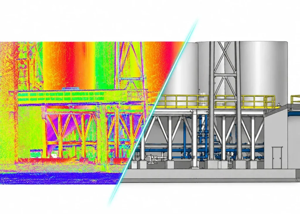
A RELIABLE DIGITAL REFERENCE
Model what’s on site, not just what’s on the drawings.
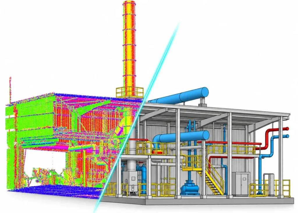
Existing buildings can change over time, and the record drawings may not show every site condition. Scan to BIM turns registered laser data into a structured 3D reference that helps your team understand the building as captured.
We use the supplied point cloud to develop the architectural, structural and MEP information agreed for your project. Model detail, geometry and included data are set around how you plan to use the deliverables.
From a commercial refurbishment in Melbourne to an industrial upgrade in regional Australia, the model brief begins with the site data and the project outcome.
WHAT WE CAN MODEL
Scan to BIM services, scoped to your project
Choose the disciplines and existing-condition detail your team needs. The available scan coverage and agreed brief guide what is included.
Architectural modeling
Capture visible building features—from walls, openings and finishes to roofs, stairs and ceilings—in an organised architectural model.
Structural modeling
Represent observed beams, columns, slabs and framing from the registered scan, based on the elements and detail agreed for your project.
MEP modeling
Translate scan-visible mechanical, electrical and plumbing services into modelled systems, including ducts, pipework and equipment.
Existing-condition BIM
Build a practical digital record of what is on site to inform refurbishment, adaptive reuse, extension and asset-planning work.
FROM SCAN TO HANDOVER
A straightforward process, from first files to final model.
Clear inputs and an agreed scope keep the modelling process focused from the start
Share your project information
Send the registered point cloud, available drawings, the building location, and a short outline of what the model needs to achieve.
Review the scan data
We check the coverage, registration and file condition, then clarify any gaps or questions before modelling begins.
Develop the BIM model
The agreed architectural, structural and services elements are modelled against the supplied scan in your nominated software workflow.
Check against the source
A quality review checks alignment, levels, geometry and the agreed modelling scope against the available scan information.
Receive your deliverables
We provide the agreed model, drawings and other outputs in the file types and software versions discussed for your project.
WHAT YOU RECEIVE
Useful model files for the next stage of work.
We agree the outputs before modelling, so the final package reflects your software workflow and project brief.
Native Revit models (RVT)
IFC models where included in scope
As-built plans, elevations and sections
Structural and MEP model views
Schedules and model documentation
CAD drawings in DWG or DXF, if requested
Existing-condition models for retrofit and renewal
Final outputs depend on project requirements, available source information and file compatibility.
MODEL DETAIL
Set the level of development around the job.
LOD is a guide to model definition and information—not a standalone accuracy guarantee. Results also depend on scan quality, scope and agreed tolerances.
LOD 200
Concept-ready
Indicative geometry for early planning and broad spatial studies.
LOD 300
Design detail
Defined locations and dimensions for agreed design and coordination tasks.
LOD 350
Interface detail
Additional connections and interfaces between elements for multidisciplinary coordination.
LOD 400
Construction detail
Greater component detail where fabrication or installation information is included in scope.
LOD 500
Verified record
Existing-condition information confirmed against appropriate verification data and project requirements.
BUILT ENVIRONMENTS
For existing buildings across Australia.
From detailed heritage spaces to large facilities, the scan and the project brief shape the right model scope.
Commercial property
Homes and apartments
Industrial sites
Health facilities
Schools and universities
Retail and hospitality
Heritage buildings
Civic and public assets
WHY SCAN TO BIM
Make existing-site information work harder.
A clearer picture of existing conditions
Bring captured site information together in a structured model your team can review.
More confident refurbishment planning
Understand visible geometry and spatial constraints before design decisions are locked in.
A shared coordination reference
Give architectural, structural and services teams an agreed model to work from.
Less reliance on old records
Compare current scan-based information with available drawings where the two may differ.
Useful information beyond handover
A suitably scoped model can support future changes and asset planning.
FILES & WORKFLOWS
Ready for the tools your team already uses.
We confirm the source and delivery file types during scoping, before work gets underway
Point cloud inputs
E57
RCP
RCS
PTS
PTX
LAS
LAZ
XYZ
PLY
File support is confirmed against your project data.
BIM & CAD outputs
RVT
IFC
DWG
DXF
Other agreed formats can be reviewed during project setup.
FILES & WORKFLOWS
A Practical BIM Modeling Partner for US AEC Teams
We work with project teams to establish a clear modeling scope, review the available scan data, and develop BIM deliverables aligned with their project requirements.
Defined modelling scope and deliverables
Checks against the supplied point cloud
Confidential handling of project information
LOD and information requirements set per project
Communication through the modelling stages
Output in agreed software and file formats
Start a project
Request a Free Scan to BIM Quote
Fill in your project details. Submitting opens an email to our team with your details filled in — attach point cloud samples or share a download link in that email.
- +1 757 656 3274
- +44 7360 267087
- +91 6350202061
- enquiries@pointcloudto3dmodel.com
NDA Available
FAQ
FAQs About Scan to BIM Services in Australia
Can Scan to BIM models be developed to meet Australian project BIM standards and documentation requirements?
Yes. Scan to BIM models can be prepared in accordance with project-specific BIM Execution Plans, client information requirements, and applicable Australian project documentation standards. Depending on the project, deliverables can align with ISO 19650-based information management workflows, Australian coordinate reference requirements, and the client’s Revit modeling standards. The project team should establish the required model structure, accuracy, information parameters, and exchange formats before modeling starts.
Can you create Scan to BIM models for existing commercial buildings, industrial facilities, and infrastructure projects across Australia?
Yes. Registered laser scan data can be converted into BIM models for commercial offices, warehouses, manufacturing facilities, healthcare buildings, educational institutions, and selected infrastructure-related structures. Modeling can cover architectural layouts, structural framing, columns, beams, slabs, roof structures, and visible MEP installations. This is particularly useful for Australian projects involving asset upgrades, building extensions, adaptive reuse, and existing-facility redevelopment.
Can Scan to BIM services help Australian MEP contractors coordinate HVAC, hydraulic, and electrical systems?
Yes. Scan to BIM models can document existing HVAC ductwork, hydraulic pipework, drainage systems, electrical conduits, cable trays, and mechanical equipment. These elements can be developed into coordinated Revit models to help consultants and contractors assess available service zones, identify spatial conflicts, and plan modifications. For Australian building services projects, the model scope should clearly distinguish between mechanical, electrical, and hydraulic systems and define which elements require detailed representation.
What coordinate systems and measurement units are used for Scan to BIM projects in Australia?
Australian projects generally use metric measurements, including millimetres for detailed building modeling and metres for broader site and survey information. Depending on the project location and survey requirements, coordinate referencing may involve GDA2020, MGA2020, AHD, or another client-specified project datum. The appropriate horizontal coordinate reference system, vertical datum, survey control, and project origin should be confirmed with the project’s surveyor or design team before point cloud registration and BIM modeling.
Can Scan to BIM models support facility management and asset information requirements for Australian building owners?
Yes. Scan to BIM models can provide a structured digital record of existing building geometry and selected asset information to support facility management, maintenance planning, and future building upgrades. Depending on the owner’s requirements, models can include equipment locations, plant-room layouts, accessible service routes, asset identifiers, and agreed parameters. Revit and IFC deliverables can be prepared to support downstream asset information workflows, provided the required asset data and classification structure are defined at the beginning of the project.